Work/Apps & tools

PAAR Coverage Atlas

A working example of a county map and dashboard that shows where sexual assault services and prevention work reach, and where gaps are.

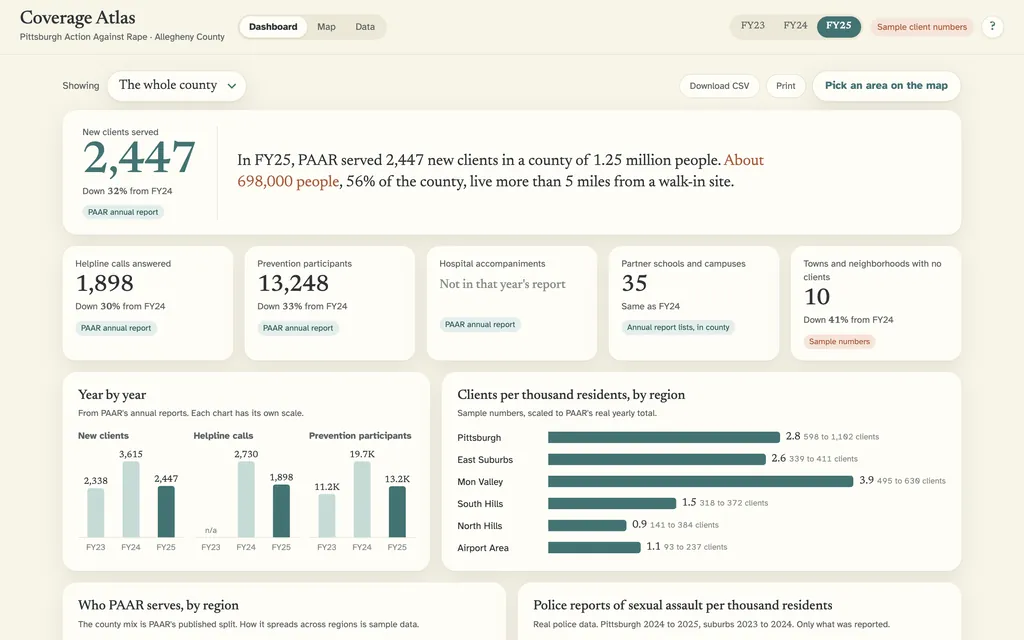
PAAR Coverage Atlas screenshot
Client
Pittsburgh Action Against Rape
Type
Data map and dashboard
Date
Oct 2026
Status
Private build

Pittsburgh Action Against Rape asked for a map of Allegheny County with layers staff can switch on and off. They wanted it to suggest where services and awareness fall short, so outreach money, educators and counselors go where they are needed most.
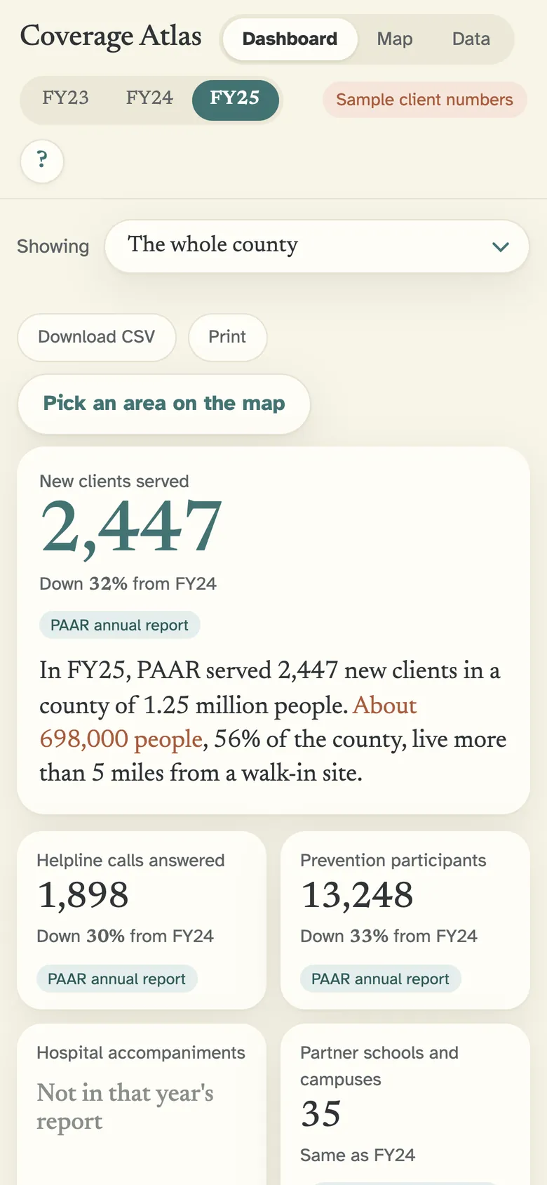
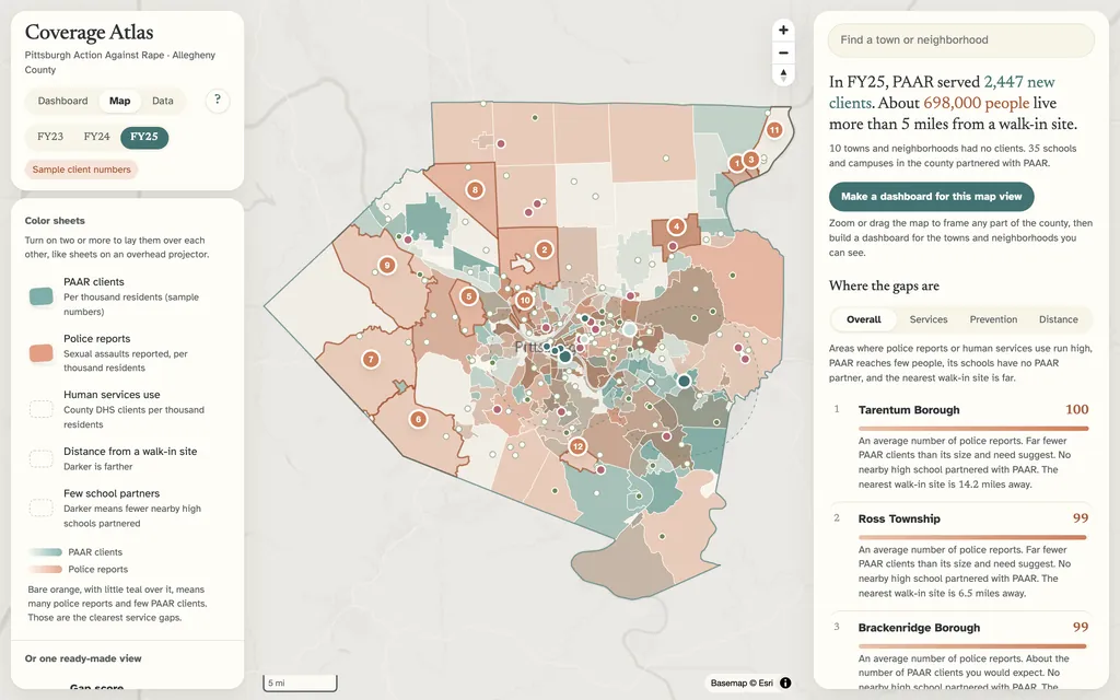
  1. Drew county boundaries for every municipality and Pittsburgh neighborhood, with layers that staff turn on and off.
  2. Combined public population, police-reported incident, hospital, college and school data with the figures from PAAR's own annual reports.
  3. Added stackable color sheets, five-mile circles around walk-in sites and a score that labels the widest gaps in coverage.
  4. Used sample numbers for where clients live and labeled them as sample on every screen, since real client records never leave PAAR.
  5. Built a dashboard home page and a fiscal-year switch, and started a data page for uploading summary counts.
  • Layered county map
  • Gap scores
  • Dashboard home page
  • Fiscal-year view

Built in October 2026 as a working example for the nonprofit. It runs on a local machine and has not been deployed.

Start a project

Have something to build?

Tell us what you need. A website, a tool your team will use every day, or something nobody has built yet.